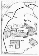
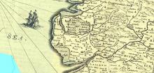
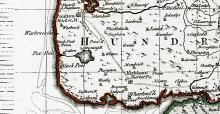
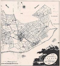
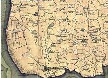
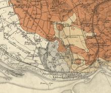
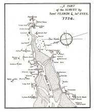
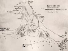
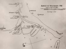
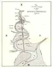
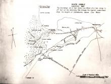
- Many old maps of Lancashire. These don't have much local detail and in the older ones the geography isn't exact. They do a rough of idea of what it was like though and you can see the different spellings used for Lytham in the past.
- Ancient civil parishes/townships near Lytham
- Place name search via names on 1900 map
- Churches within 5 miles
- Lancs CC Mario mapping
- Yates' map of Lancashire in 1786.
- Greeenwood's map of Lancashire in 1818.
- G. Hennet's map of Lancashire in 1829.
You can see maps centred on OS grid reference SD341285 (Lat/Lon: 53.748395, -3.001349), Lytham which are provided by:
- OpenStreetMap
- Google Maps
- StreetMap (Current Ordnance Survey maps)
- Bing (was Multimap)
- Old Maps Online
- National Library of Scotland (Old Ordnance Survey maps)
- Vision of Britain (Click "Historical units & statistics" for administrative areas.)
- English Jurisdictions in 1851 (Unfortunately the LDS have removed the facility to enable us to specify a starting location, you will need to search yourself on their map.)
- Magic (Geographic information) (Click + on map if it doesn't show)
- GeoHack (Links to on-line maps and location specific services.)
If you have additional information or pictures that may usefully added to this page then please get in touch with us.
