- Many old maps of Lancashire. These don't have much local detail and in the older ones the geography isn't exact. They do a rough of idea of what it was like though and you can see the different spellings used for Lytham in the past.
- Ancient civil parishes/townships near Lytham
- Place name search via names on 1900 map
- Churches within 5 miles
- Lancs CC Mario mapping
- Yates' map of Lancashire in 1786.
- Greeenwood's map of Lancashire in 1818.
- G. Hennet's map of Lancashire in 1829.
You can see maps centred on OS grid reference SD341285 (Lat/Lon: 53.748395, -3.001349), Lytham which are provided by:
- OpenStreetMap
- Google Maps
- StreetMap (Current Ordnance Survey maps)
- Bing (was Multimap)
- Old Maps Online
- National Library of Scotland (Old Ordnance Survey maps)
- Vision of Britain (Click "Historical units & statistics" for administrative areas.)
- English Jurisdictions in 1851 (Unfortunately the LDS have removed the facility to enable us to specify a starting location, you will need to search yourself on their map.)
- Magic (Geographic information) (Click + on map if it doesn't show)
- GeoHack (Links to on-line maps and location specific services.)
Image
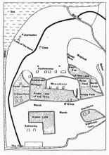
Lytham
1500s
Image
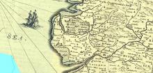
The Fylde
1659
Image
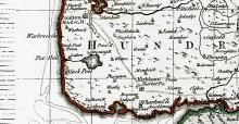
The Fylde
1752
Image
Lytham township
1812
Image
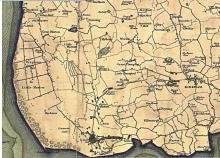
Greenwood's map
1818
Image
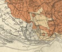
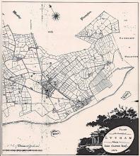
Lytham
1870
Image
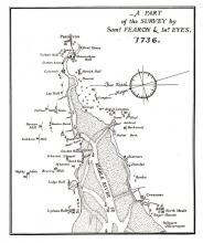
River Ribble
1736
Image
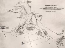
River Ribble
1736-7
Image
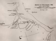
River Ribble
1761
Image
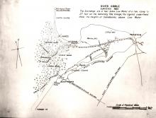
River Ribble
1807
Image
River Ribble
1895
If you have additional information or pictures that may usefully added to this page then please get in touch with us.